
Flood Evacuation Maps
The following mapping is representative of evacuation routes from areas known, or expected to be, vulnerable to flooding. The mapping is subject to change based on the event and routing may be closed or modified without notice on this page. The users of the products are expected to monitor flooding conditions and closely follow evacuation instructions.
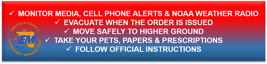
You should evacuate if:
- You feel you are in danger or threatened.
- You receive an alert instructing you to do so.
As a user, you can ensure receipt of emergency messages on your cell phone by signing-up for ALERT Osceola. Again, follow the evacuation instructions.
The mapping contains Rally Points which, are areas of safety and higher ground should you need additional instructions or assistance. You are not required to evacuate to a Rally Point. If you need assistance, Public Safety officials will be located at Rally Points to assist with your needs. The mapping also contains Access Control Points. These points are areas that will remain closed during an evacuation for the safety and protection of life and property.
Interactive Evacuation Map
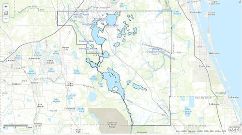
Click the button below to access the interactive version of the flood evacuation map. Please note: If you do not recognize the areas in the interactive map viewer, you may search for your address in the search bar at the upper right hand side of the map viewer.